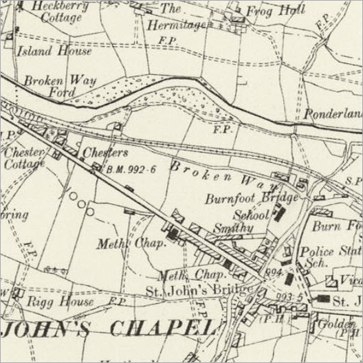
In addition to the 1842 Tithe Map we have a large collection of digitised Ordnance Survey Maps from 1857 (First Edition) and 1899 (Second Edition) covering the whole area. They are especially useful outside the villages where single properties are named and can be used alongside addresses given in the census.
The whole of Weardale is mapped at 6" to the mile scale but we also have some maps of upper Weardale at 25" to the mile scale
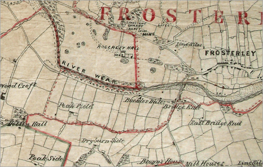
The “Roddam Map” of 1851, covering all Stanhope Parish, was produced by a local land agent and surveyor, John Joseph Roddam.
The smaller map, shown to the right, is from 1851, covering all Stanhope Parish, was produced by a local land agent and surveyor, John Joseph Roddam who lived at Newtown House, Stanhope.